


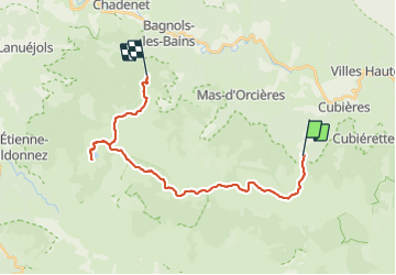


22 km | 32 km-effort

User


FREE GPS app for hiking
 SityTrail
IGN / Geographical institutes
SityTrail World
The world is yours!
Trail Equestrian of 24 km to be discovered at Occitania, Lozère, Mont Lozère et Goulet. This trail is proposed by alfreson.
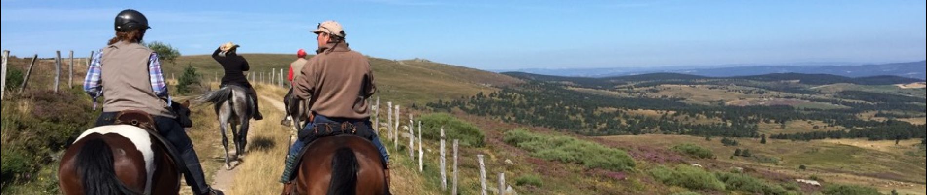
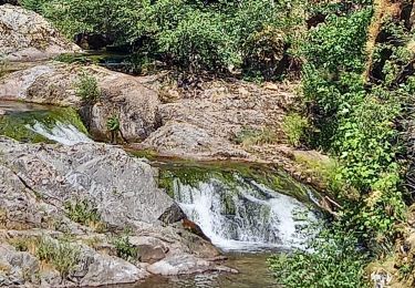
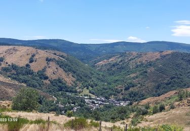
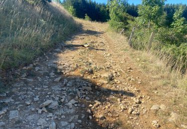
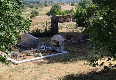
Montée au sommet du Mont Lozère, puis direction L'étang du Baraudon en passant par des pinèdes et des champs de bruyère pour une pause midi très agréable, puis direction le village d'Auriac par des paysages champêtres et des bois feuillus qui ressemblent plus à nos forêts ardennaises...


47 photos in total. Please click on a photo to see them all in the gallery.

Walking

Walking
Walking

Walking
Walking
Walking

Electric bike
Mountain bike
Walking